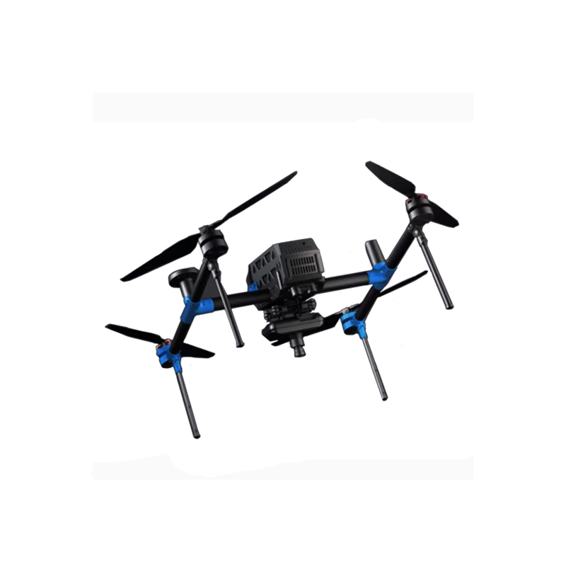
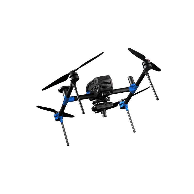

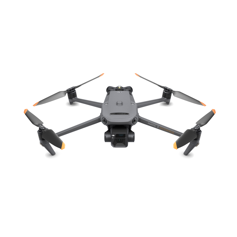
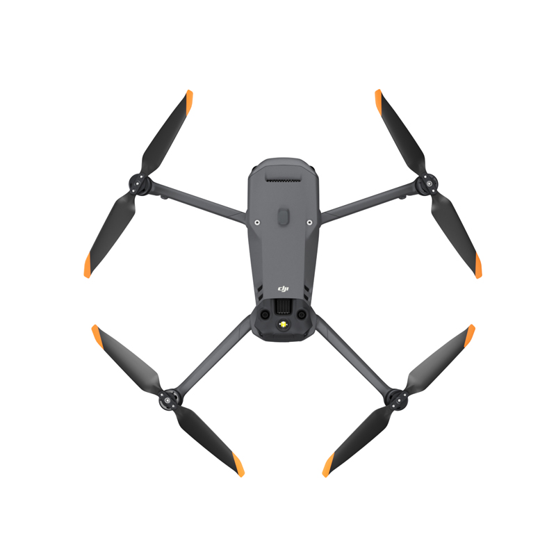


DJII Mavic 3 Enterprise Series Mavic 3E Drone with Thermal RC Drones 4k Professional Camera 45-min Max Flight
Product advantages
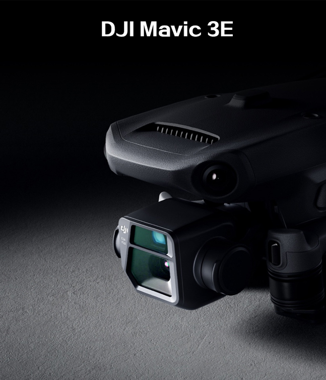
High-performance Camera System:
Equipped with a 1-inch CMOS sensor, supporting 4K/60fps video recording and up to 20-megapixel photo capture.
Delivers clear and delicate images, capturing every wonderful moment.
Features advanced image processing capabilities, such as HDR, low-light shooting, and panorama stitching, enhancing the artistic and expressive quality of photos and videos.
Multiple Intelligent Flight Functions:
Auto-tracking function: Automatically follows target objects, ensuring a consistently clear and stable view.
Remote control gesture control: Allows users to control the drone's flight and photography through simple gestures, eliminating the need for complex operations.
Multi-layered Safety Mechanisms:
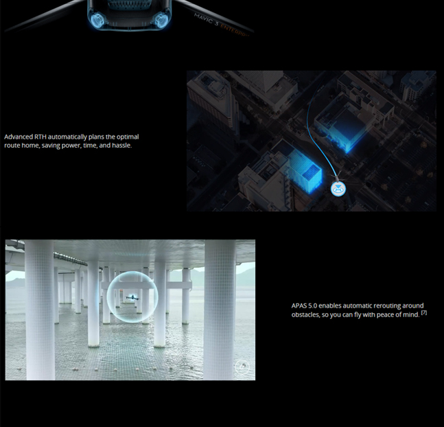
Advanced obstacle avoidance system can perceive the surrounding environment in real-time, avoiding collisions.
An emergency stop button on the remote control can quickly halt the drone's flight in emergencies, ensuring the safety of personnel and equipment.
Professional Surveying and Inspection Capabilities:
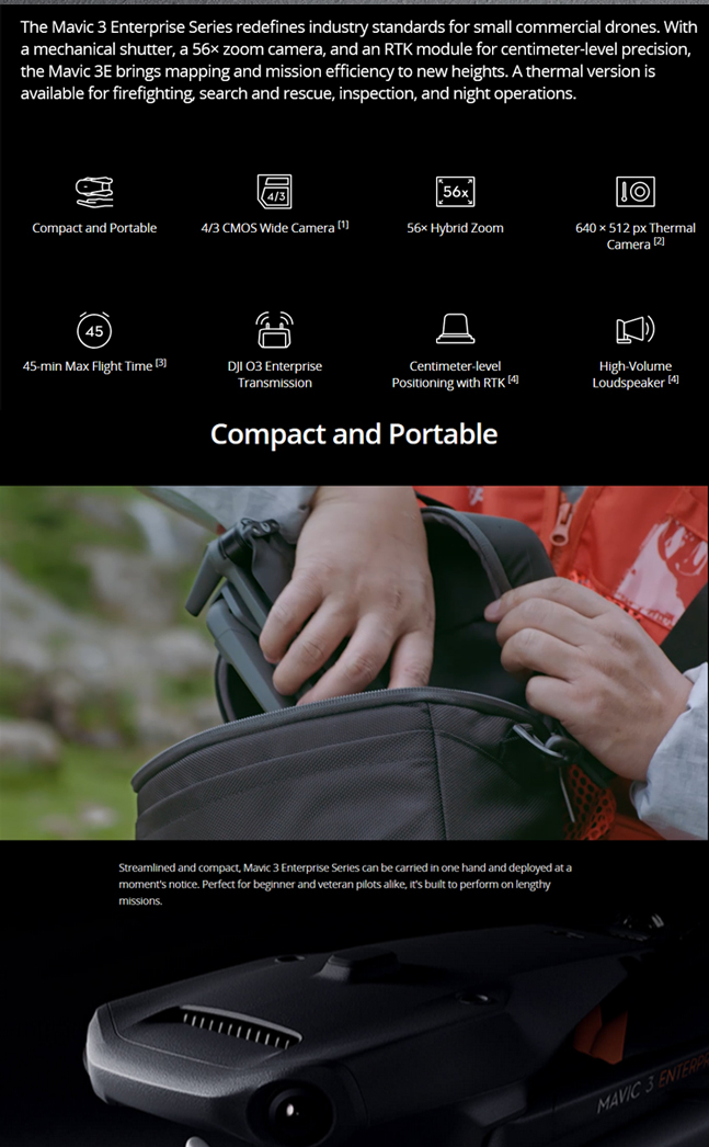
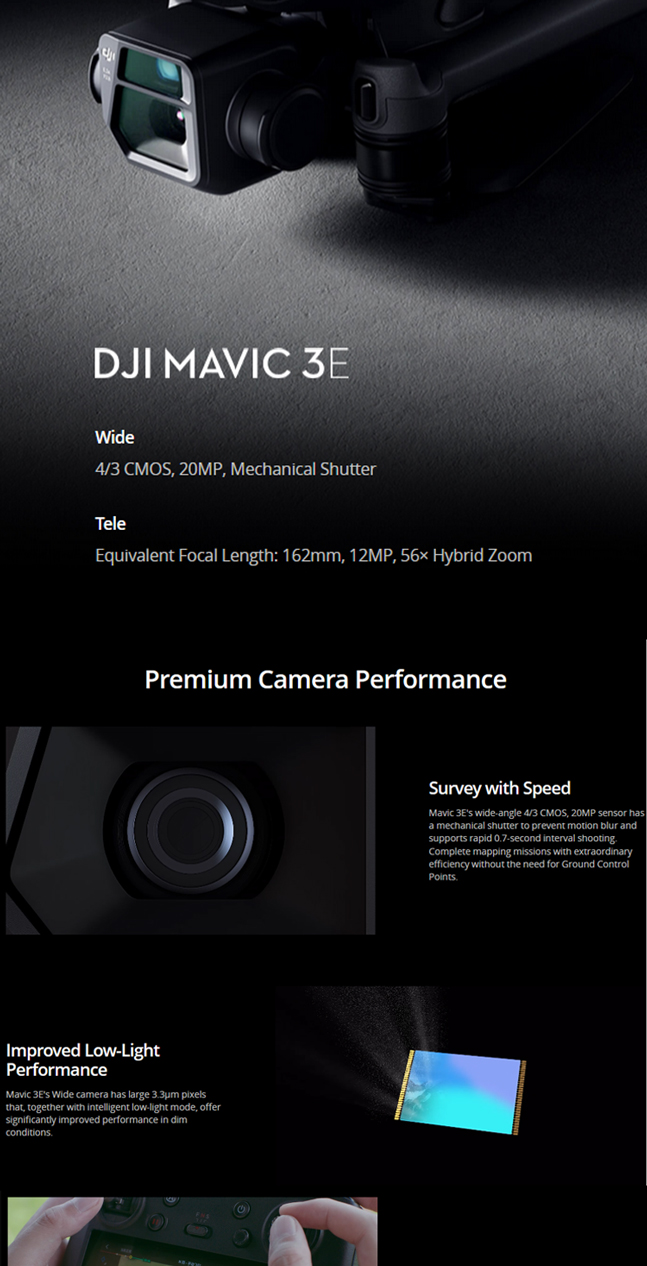
Equipped with a mechanical shutter wide-angle camera, 56x zoom camera, and RTK module, supporting high-precision and efficient surveying and inspection tasks.
The wide-angle camera features a 4/3 CMOS sensor and 20 million pixels, supports a mechanical shutter to avoid jelly effects, eliminates the need for image control, and enables rapid continuous shooting, enhancing surveying efficiency.
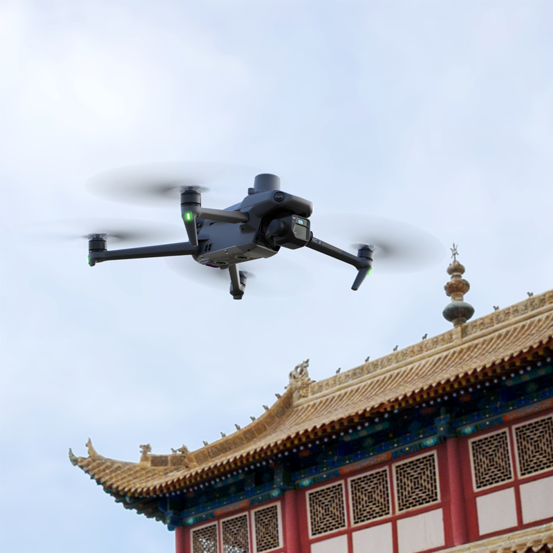
Long Flight Time and Efficient Charging:
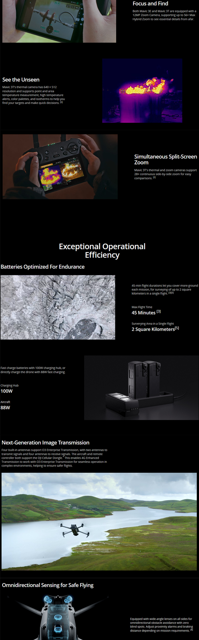
A single flight can last up to 45 minutes, significantly increasing effective operation time and radius.
Comes with a 100W charging hub and 88W fast-charging body, supporting rapid charging for flexible operations.
Advanced Transmission System:
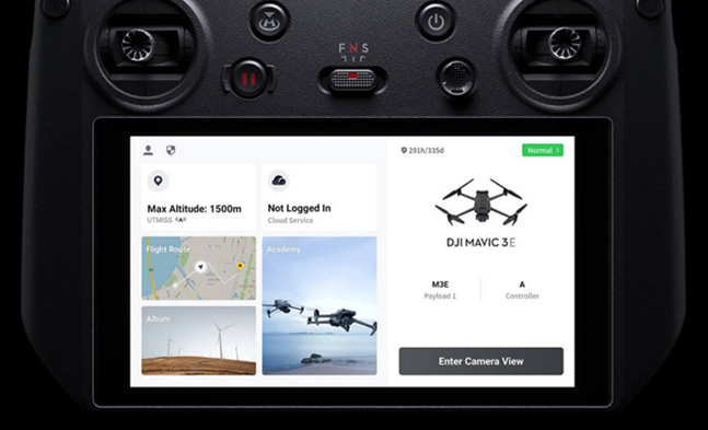
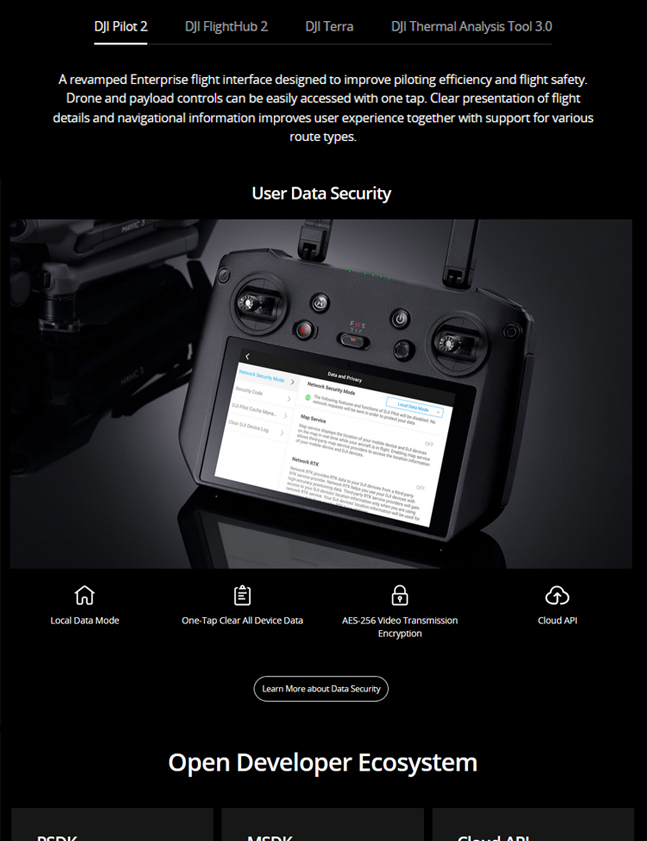
4-antenna O3 transmission industry version, with 2 transmission channels and 4 reception channels, supports the DJI Cellular module, allowing 4G-enhanced transmission and O3 industry version to work simultaneously, easily handling various complex environments.
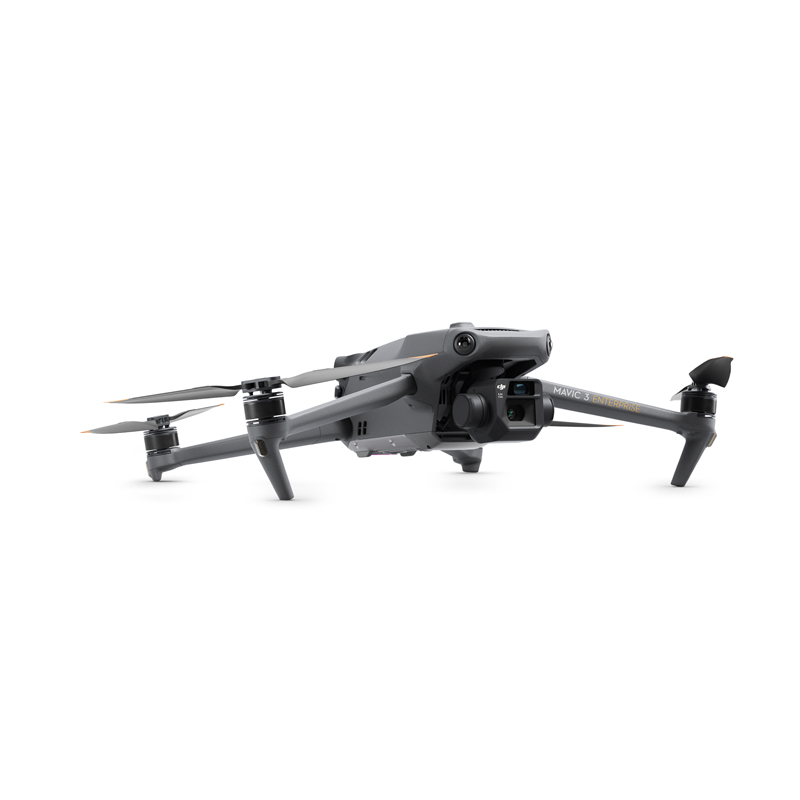
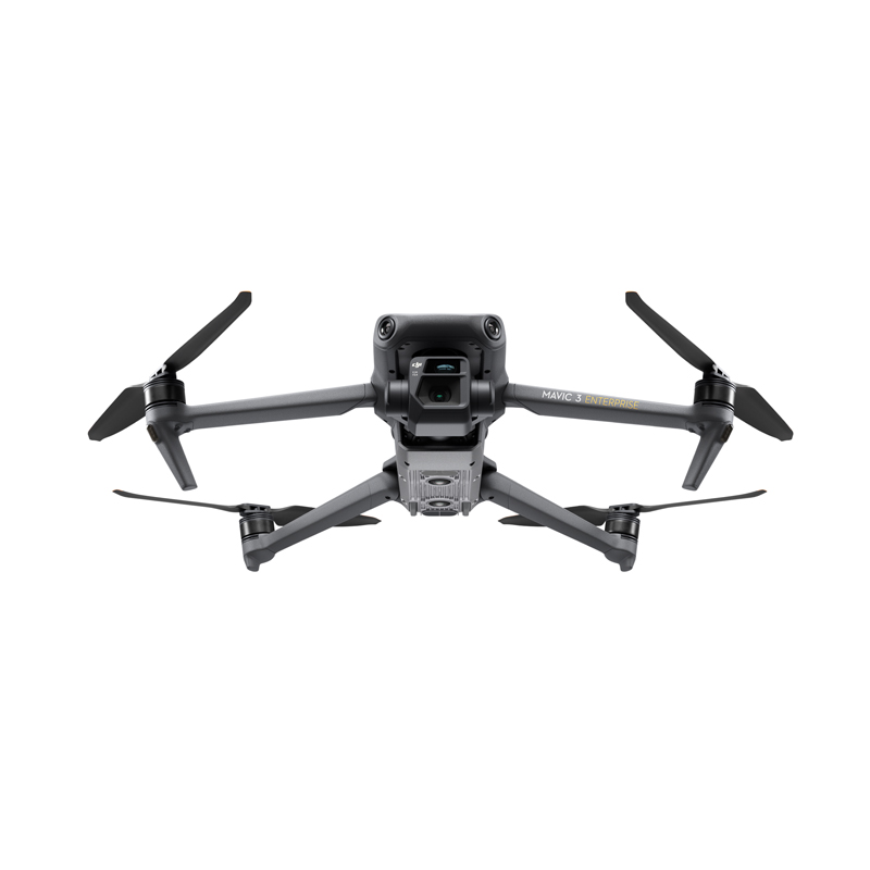
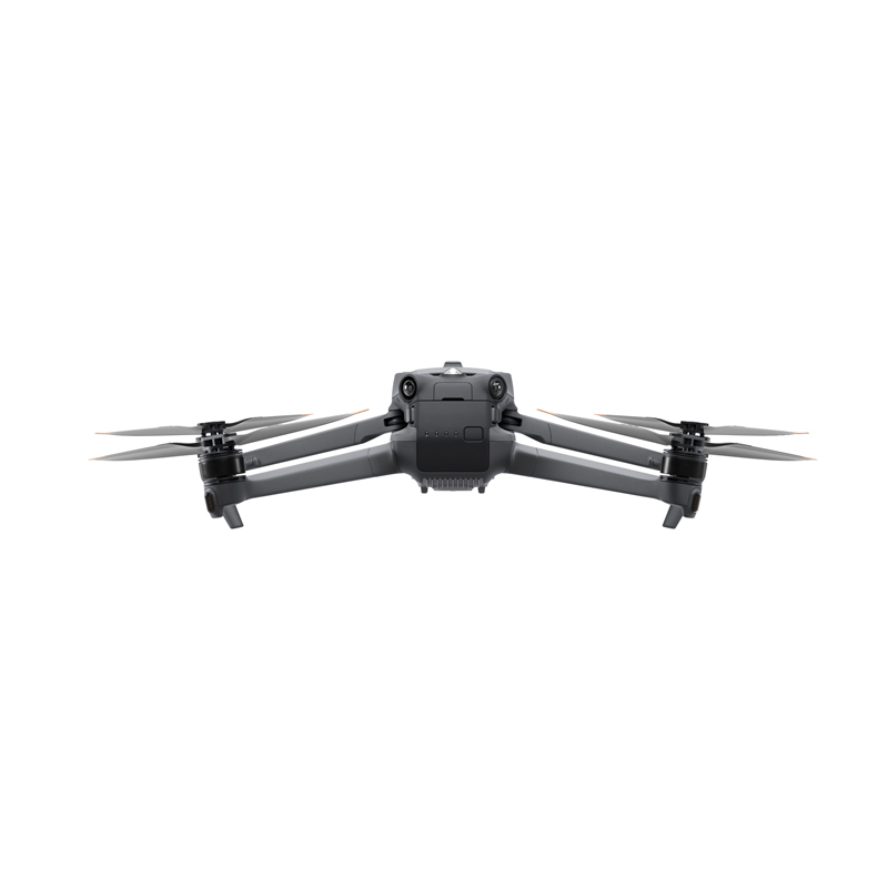
Compact, Portable, and Durable Design:
The compact and small body can be held in one hand, convenient for carrying and rapid single-person deployment.
Durable body design can withstand long-term operational challenges.
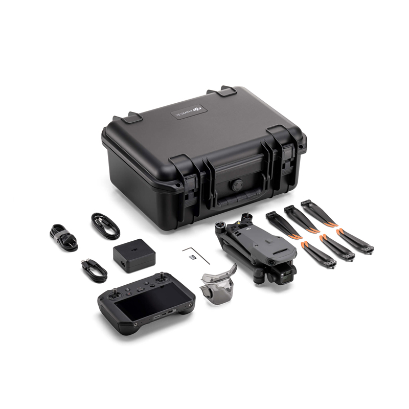
Rich Accessories and Professional Software Support:
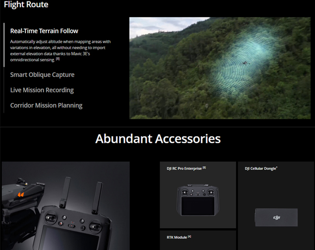
Offers a variety of optional accessories, such as a loudspeaker, D-RTK 2 mobile station, etc., expanding the drone's potential applications.
Supports professional software such as DJI GS RTK 2 and DJI Terra DTAT 3.0 for efficient data collection, modeling, and analysis.
In summary, the DJI Mavic 3E drone, with its exceptional performance, advanced camera system, and intelligent flight functions, offers consumers and professionals an unprecedented aerial photography and surveying experience.
Industry Applications
I. Surveying and Planning
1.Land Surveying: The DJI Mavic 3E can accurately and quickly survey large tracts of land. Its high-resolution camera captures clear ground images, combined with precise positioning and navigation services provided by GPS/GNSS, making land surveying simpler and more efficient.
2.Urban Planning: By using drones for surveying, three-dimensional models of buildings can be obtained to facilitate scientific planning and design. The Mavic 3E's high-definition camera and precise positioning system significantly enhance the accuracy and efficiency of building surveying.
3.Engineering Survey and Design: In engineering surveys and designs, cross-sectional measurements are common for designing the shape of line cross-sections, calculating slopes, estimating earthwork volumes, setting out slopes, and arranging various structures. The DJI Mavic 3E surveying drone can efficiently acquire high-precision terrain data without the need for image control points. Based on digital orthophotos, digital surface models, real-world 3D models, laser point cloud data, and other aerial survey results, it can rapidly extract the elevation point data of cross-sectional terrain required for engineering construction.
II. Monitoring and Protection
1.Agricultural Monitoring: In agriculture, the Mavic 3E's high-definition camera can capture large fields for vegetation monitoring and pest detection. Coupled with cloud computing and AI technologies, it enables efficient tracking and management of farmland, enhancing crop yield and quality.
2.Environmental Protection: Drones can provide monitoring and early warning for natural disasters, forest damage, wildlife conditions, and more. The Mavic 3E's high-definition camera and other detection systems can swiftly detect environmental issues and prompt protective measures.
3.Construction Monitoring: Real-time monitoring during construction allows for timely identification and resolution of issues in the construction process, ensuring project quality and safety.
III. Search and Rescue
1.Disaster Relief: In the event of natural disasters, the Mavic 3E can be rapidly deployed to disaster areas for aerial reconnaissance and search and rescue operations, providing rescue teams with precise disaster information and positioning services.
2.Personnel Search and Rescue: Its high-definition camera and telephoto lens can capture targets from long distances, providing crucial clues and guidance for rescue teams.
IV. Other Applications
1.Film and Television Production: The Mavic 3E's high-performance camera system and intelligent flight functions make it a valuable tool in film and television production, capable of capturing high-quality, stable aerial footage.
2.Scientific Research and Exploration: In scientific research, the Mavic 3E can be used for studying topography, climate, meteorology, and more, providing valuable data support.
In summary, the DJI Mavic 3E drone has broad application prospects and market demand, playing a crucial role in various fields such as surveying, monitoring, and rescue.
Logistics information


Logistics information
technical parameter
| Aircraft | Weight (with propellers, without accessories) [1] | DJI Mavic 3E: 915 g DJI Mavic 3T: 920 g |
| Max Takeoff Weight | DJI Mavic 3E: 1,050 g DJI Mavic 3T: 1,050 g | |
| Dimensions | Folded (without propellers): 221×96.3×90.3 mm (L×W×H) Unfolded (without propellers): 347.5×283×107.7 mm (L×W×H) | |
| Diagonal Distance | 380.1 mm | |
| Max Ascent Speed | 6 m/s (Normal Mode) 8 m/s (Sport Mode) | |
| Max Descent Speed | 6 m/s (Normal Mode) 6 m/s (Sport Mode) | |
| Max Flight Speed (at sea level, no wind) | 15 m/s (Normal Mode) Forward: 21 m/s, Side: 20 m/s, Backward: 19 m/s (Sport Mode) [2] | |
| Max Wind Speed Resistance | 12 m/s [3] | |
| Max Take-off Altitude Above Sea Level | 6000 m (without payload) | |
| Max Flight Time (no wind) | 45 mins [4] | |
| Max Hover Time (no wind) | 38 mins | |
| Max Flight Distance | 32 km | |
| Max Pitch Angle | 30° (Normal Mode) 35° (Sport Mode) | |
| Max Angular Velocity | 200°/s | |
| GNSS | GPS+Galileo+BeiDou+GLONASS (GLONASS is supported only when the RTK module is enabled) | |
| Hovering Accuracy | Vertical: ±0.1 m (with Vision System); ±0.5 m (with GNSS); ±0.1 m (with RTK) Horizontal: ±0.3 m (with Vision System); ±0.5 m (with High-Precision Positioning System); ±0.1 m (with RTK) | |
| Operating Temperature Range | -10° to 40° C (14° to 104° F) | |
| Internal Storage | N/A | |
| Motor Model | 2008 | |
| Propeller Model | 9453F Propellers for Enterprise | |
| Beacon | Built into the aircraft | |
| Class | C2 (EU) | |
| Video Transmission | Video Transmission System | DJI O3 Enterprise Transmission |
| Max Transmission Distance | FCC: 15 km CE/SRRC/MIC: 8 km | |
| Video Transmission Operating Frequency [6] | 2.400-2.4835 GHz 5.725-5.850 GHz | |
| Antenna | 4 Antennas, 2T4R | |
| Video Transmission Transmitter Power (EIRP) | 2.4 GHz: <33 dBm (FCC), <20 dBm (CE/SRRC/MIC) 5.8 GHz: <33 dBm (FCC), <14 dBm (CE), <23 dBm (SRRC) | |
| Wi-Fi Protocol | 802.11 a/b/g/n/ac/ax Support 2×2 MIMO Wi-Fi | |
| Wi-Fi Operating Frequency [6] | 2.400-2.4835 GHz 5.150-5.250 GHz 5.725-5.850 GHz | |
| Wi-Fi Transmitter Power (EIRP) | 2.4 GHz: <26 dBm (FCC), <20 dBm (CE/SRRC/MIC) 5.1 GHz: <26 dBm (FCC), <23 dBm (CE/SRRC/MIC) 5.8 GHz: <26 dBm (FCC/SRRC), <14 dBm (CE) | |
| Bluetooth Protocol | Bluetooth 5.1 | |
| Bluetooth Operating Frequency | 2.400-2.4835 GHz | |
| Bluetooth Transmitter Power (EIRP) | < 10 dBm | |
| Screen Resolution | 1920×1080 |