Best GNSS Drone ODM Manufacturers & Factories for Your Business Requirements
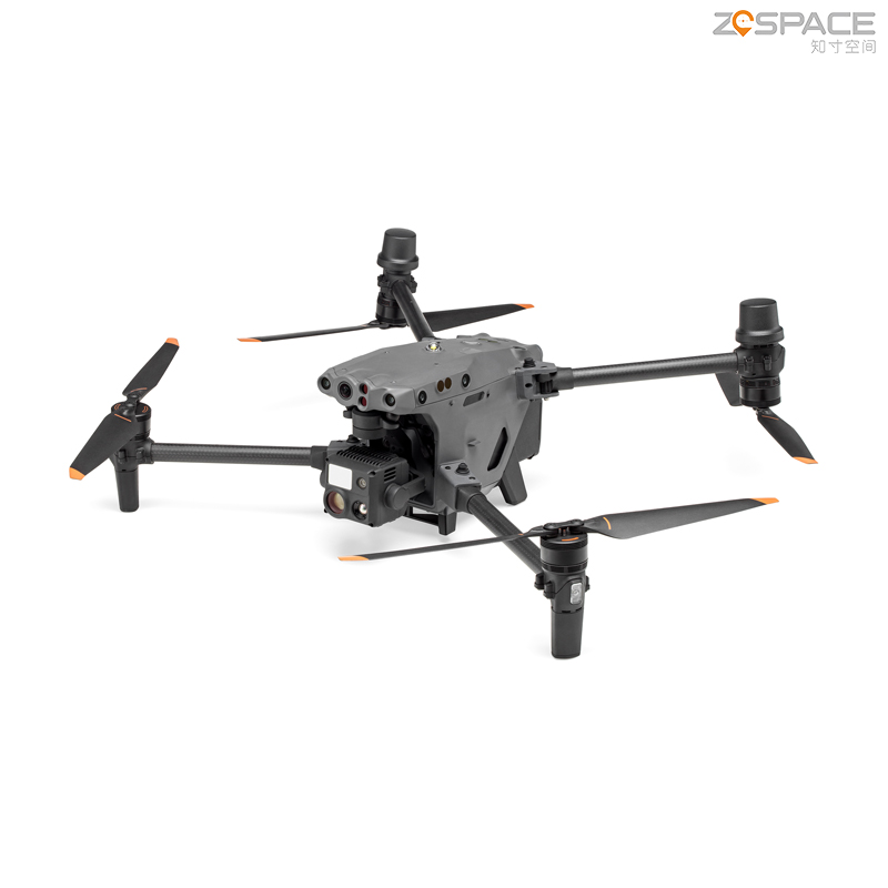
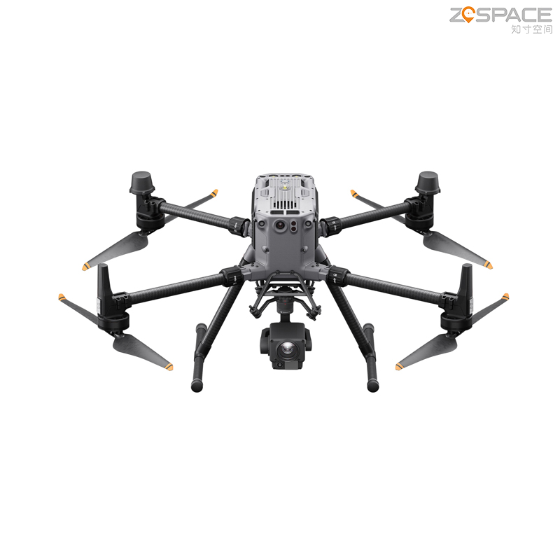
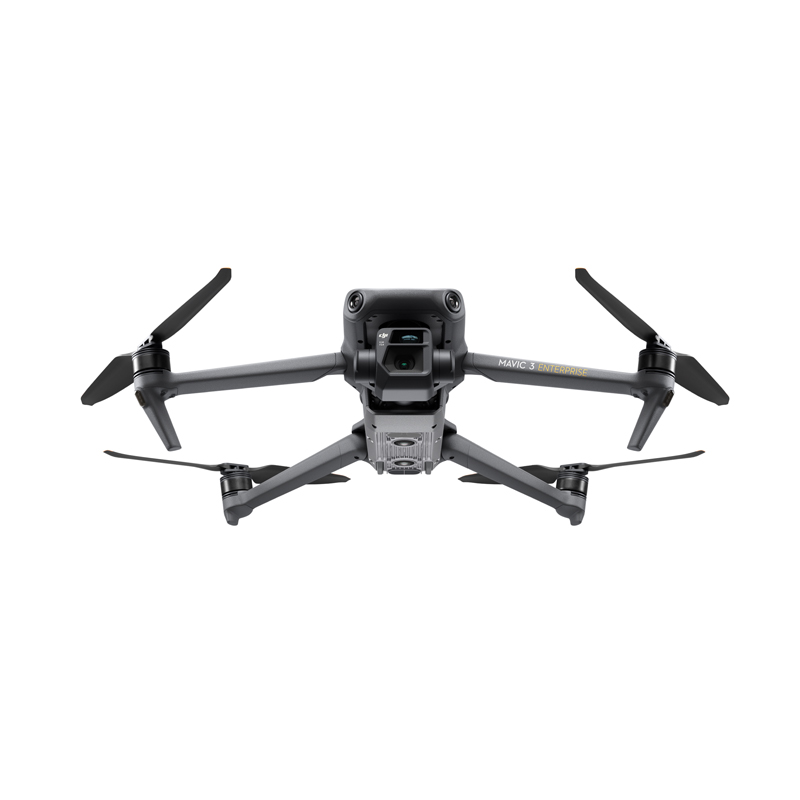
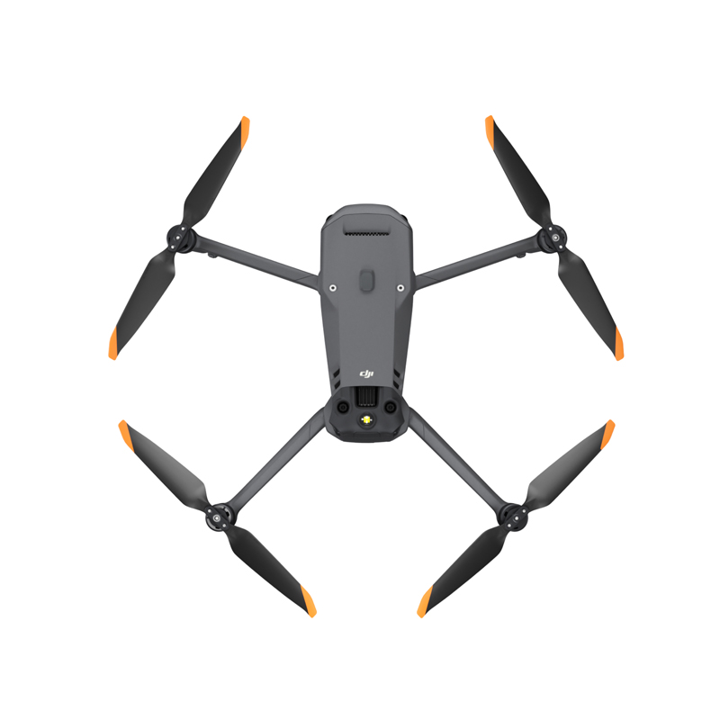
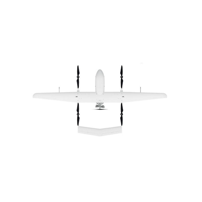
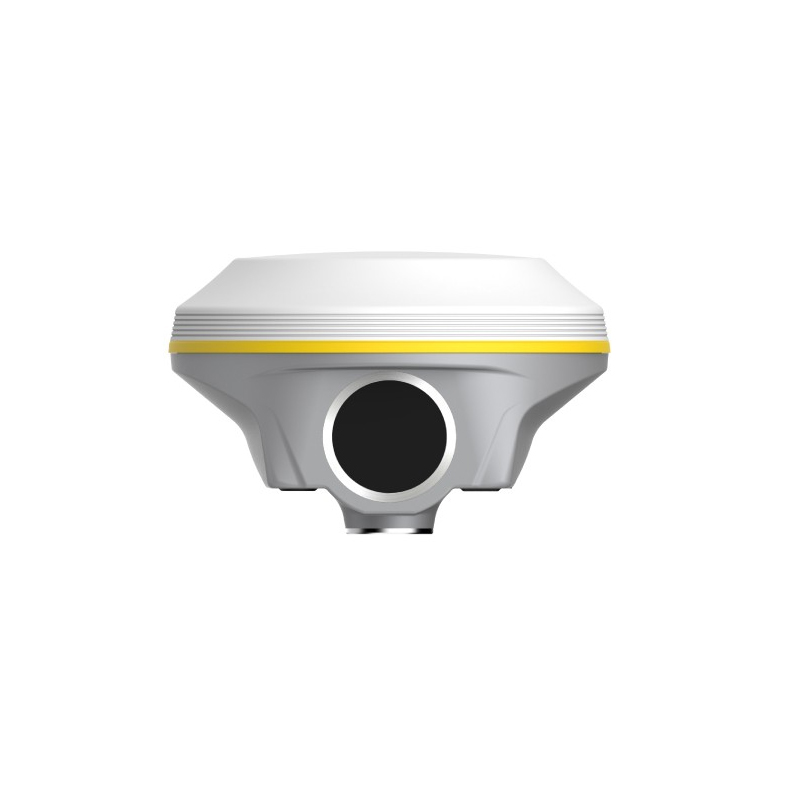
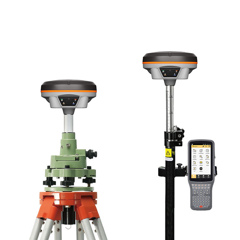
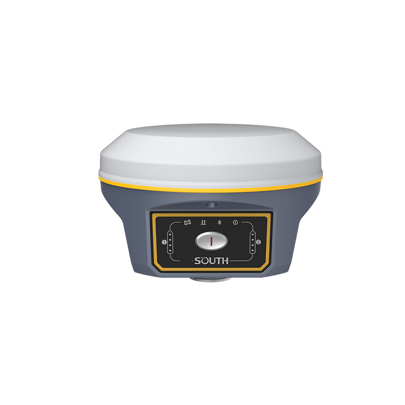
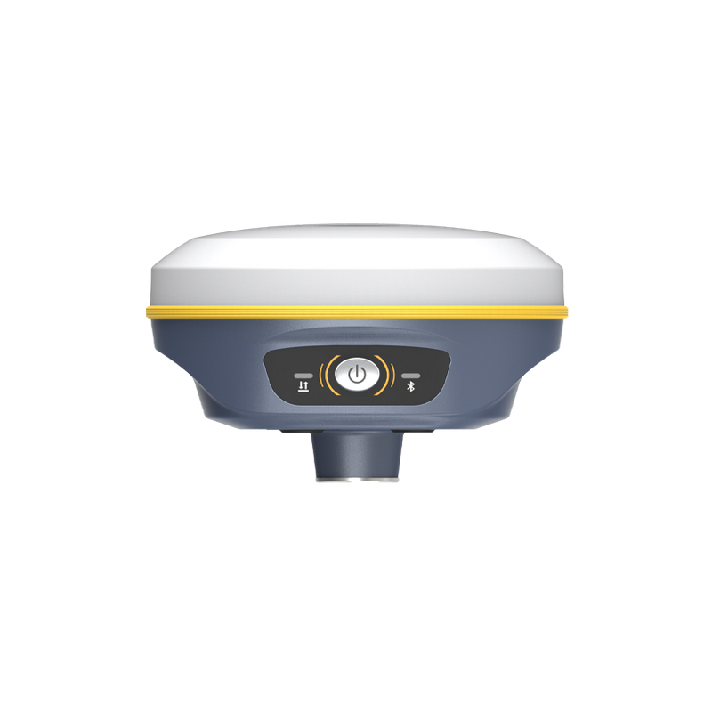
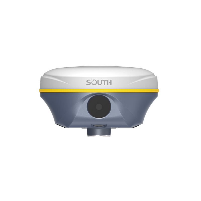
The GNSS Drone from Chengdu Zhicun Space Surveying Instrument Co., Ltd. transforms aerial surveying with its unparalleled precision and reliability. Tailored for professionals in sectors such as construction, agriculture, and environmental monitoring, this state-of-the-art drone features advanced GNSS technology for real-time geospatial data collection. Its powerful GPS capabilities facilitate efficient mapping and surveying processes, significantly enhancing workflow and project efficiency. Crafted with a lightweight yet sturdy design, this drone excels in various terrains, while its intuitive software streamline mission planning and data analysis. Equipped with high-resolution cameras and LiDAR sensors, it captures exceptional aerial imagery and detailed topographic data. With built-in safety measures and an automatic return-to-home feature, operational security is guaranteed. Experience elevated surveying capabilities where innovation seamlessly combines with functionality, supported by Chengdu Zhicun Space Surveying Instrument Co., Ltd.'s expertise.