DJI Zen L2 Lens: Leading a New Era of High-efficiency and High-precision Surveying and Mapping
DJI Zenmuse L2 Lens: Leading a New Era of Efficient and High-Precision Mapping
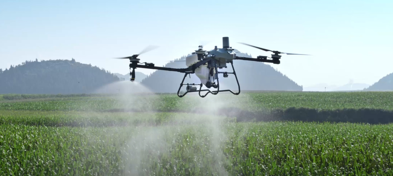
February 17, 2025, Beijing – In the ever-evolving field of drone mapping technology, DJI Innovations once again demonstrates its outstanding technical prowess, bringing revolutionary breakthroughs to various sectors including surveying and mapping, power line inspection, forestry survey, and engineering infrastructure. The DJI Zenmuse L2 lens, an upgrade to DJI's first LiDAR payload, the Zenmuse L1, is gradually becoming an industry benchmark with its exceptional penetration, high precision, and efficiency.
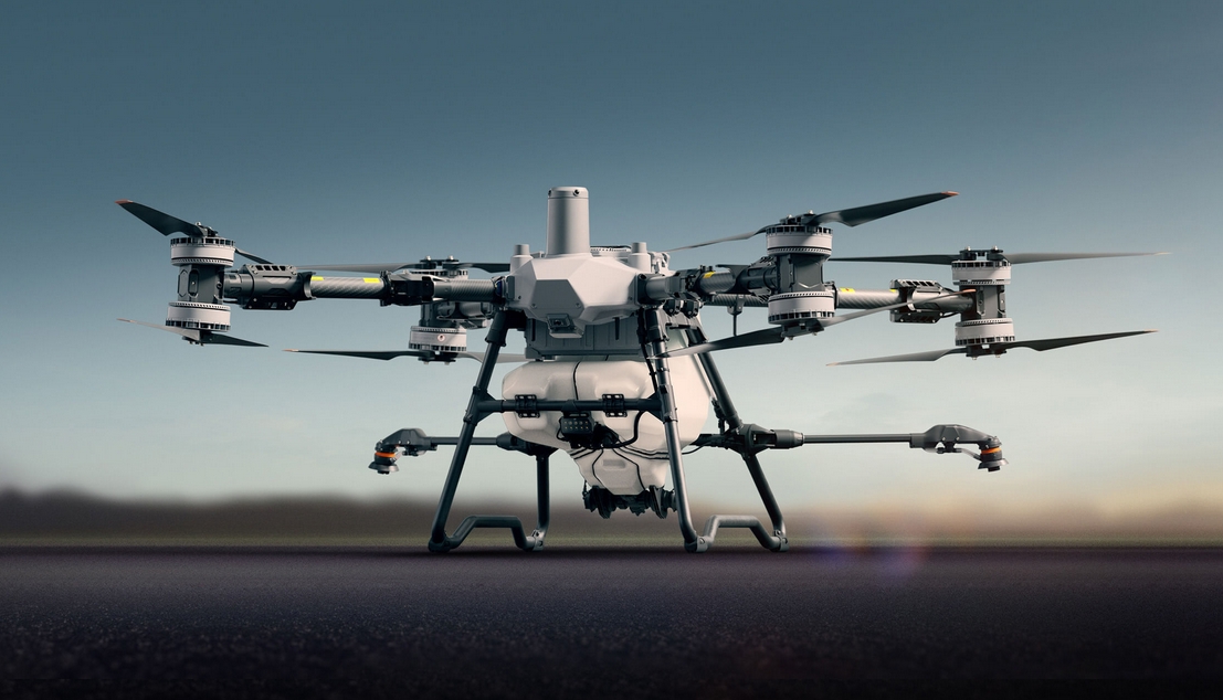
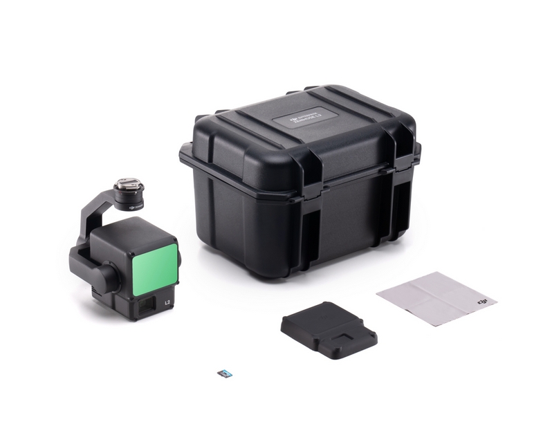
The Zenmuse L2 integrates a frame-based LiDAR, a high-precision self-developed positioning and orientation system (POS), and a 4/3 CMOS visible light mapping camera, endowing DJI flight platforms with more precise, efficient, and reliable 3D data acquisition capabilities. Its hardware performance is remarkable, with the new-generation LiDAR featuring a 30% increase in range compared to the previous generation. The typical operating altitude reaches 150 meters, with a smaller spot size and more concentrated energy. It can emit 240,000 laser points per second, recognizing finer objects and obtaining more detailed models. Supporting up to 5 returns, it can penetrate denser vegetation and collect more ground point cloud information. This feature was fully verified in the quality inspection project of mapping in Sichuan's Yanzigou, where the Zenmuse L2, with its outstanding LiDAR penetration and multi-return capabilities, easily penetrated the tree canopy, providing strong technical support for the 1:10,000 scale mapping project in unmapped areas of Sichuan Province.
Moreover, the Zenmuse L2's high-precision self-developed inertial navigation system (INS) requires no preheating and is ready for operation upon startup. By fusing data with the aircraft's RTK positioning system, it provides the Zenmuse L2 with more accurate absolute position, velocity, and attitude information. The mapping camera adopts a 4/3 CMOS sensor with a pixel size increased to 3.3μm, an effective pixel count of 20 million, a minimum shooting interval reduced to 0.7 seconds, and a shutter lifespan of up to 200,000 cycles, enriching the details in point cloud coloring. These hardware upgrades grant the Zenmuse L2 unparalleled advantages in data acquisition and processing.
In terms of software optimization, the Zenmuse L2 also excels. During operations, the DJI Pilot 2 app supports three real-time display and preview modes: visible light, point cloud, and split-screen of point cloud and visible light, allowing users to directly visualize the operation effects via the remote control. The activation of laser ranging and point cloud coloring enhances flight safety and operational efficiency. For post-processing of point clouds, the DJI Terra software enables efficient and reliable one-stop point cloud post-processing. After point cloud trajectory calculation and precision optimization, standard-format 3D point clouds can be generated with a single click. Following ground point classification, the DJI Terra software outputs DEM (Digital Elevation Model) and analyzes point cloud quality through precision control and inspection functions.
In practical applications, the Zenmuse L2 has demonstrated exceptional performance. In the Yanzigou project in Sichuan, facing complex environments with high elevation differences and dense vegetation, the Zenmuse L2 not only ensured operational safety but also completed centimeter-level high-precision data acquisition with high efficiency. The project team meticulously set parameters such as flight altitude, route speed, and gimbal angle, ensuring data accuracy and completeness. By adopting repeated scanning technology, the LiDAR scanning became more uniform and precise, fully meeting the stringent requirements for high-precision mapping in the project.
Notably, the Zenmuse L2 also supports various route missions, including waypoint, area, and linear missions, catering to different mapping environments. After completing a route mission, the DJI Pilot 2 app automatically generates a mission quality report. Coupled with point cloud playback and stitching functions, it allows for quick preview of point cloud results on-site. In case of data anomalies, timely re-shooting is possible, avoiding repeated field operations. This feature significantly enhances operational efficiency and quality.
With the continuous development of DJI's industry applications, the Zenmuse L2 will provide more innovative solutions for various fields. Its characteristics of high precision, high efficiency, and high penetration will promote the popularization of aerial mapping technology and bring new transformations to the surveying and mapping industry. In the future, we look forward to the Zenmuse L2's outstanding performance in more fields, contributing further to industry development.