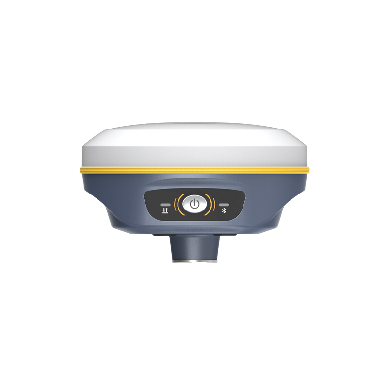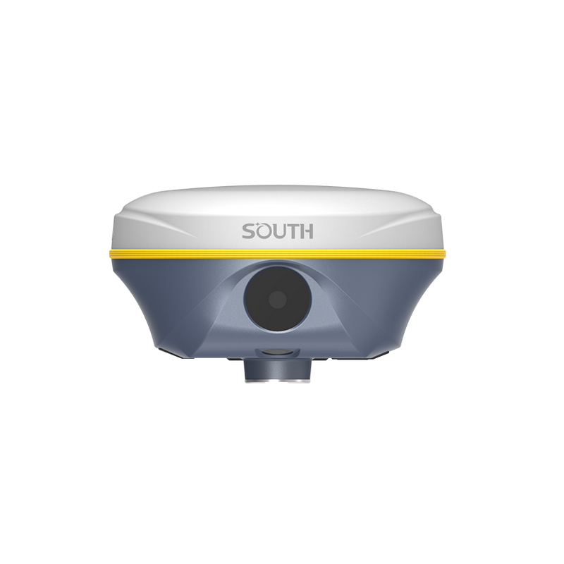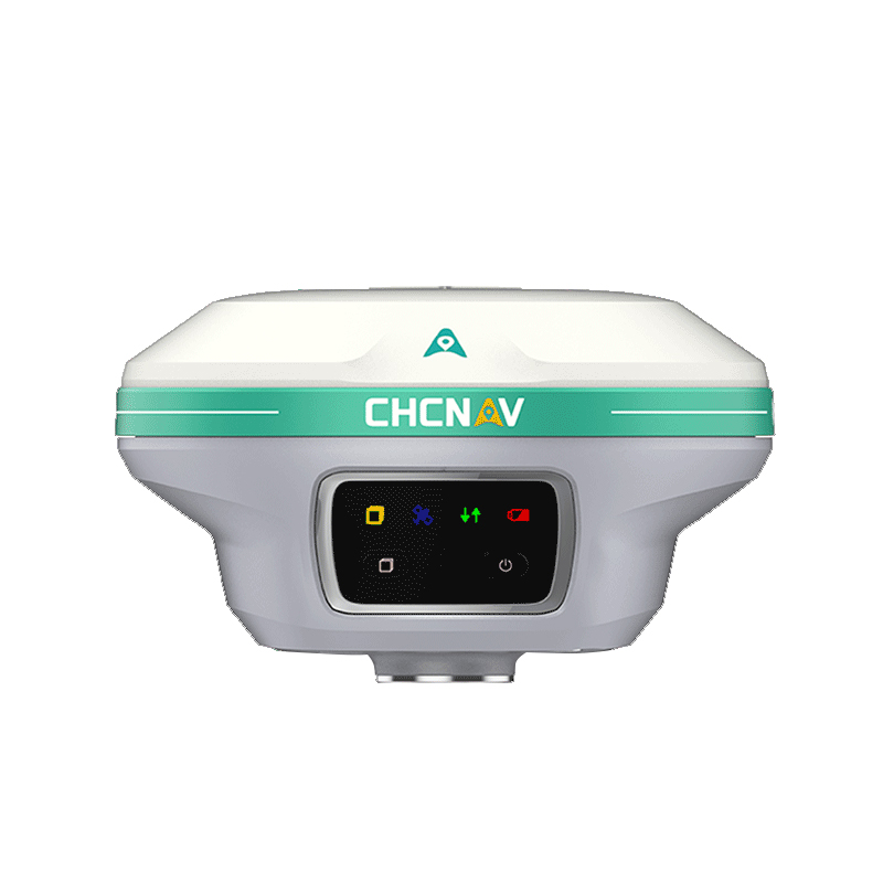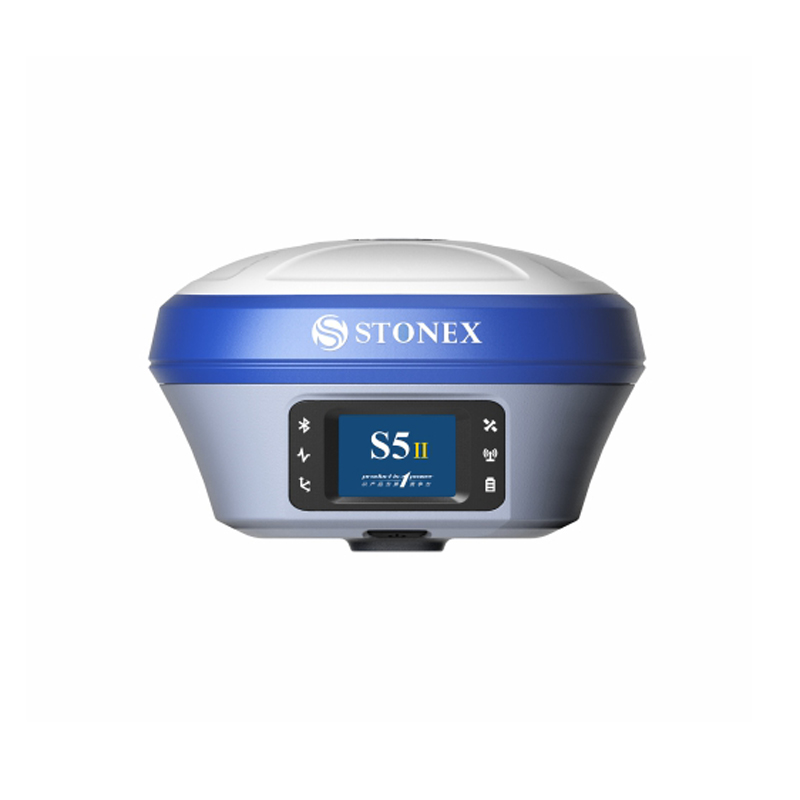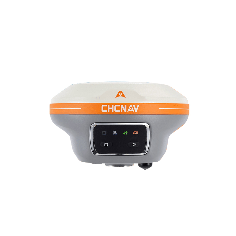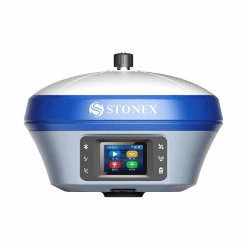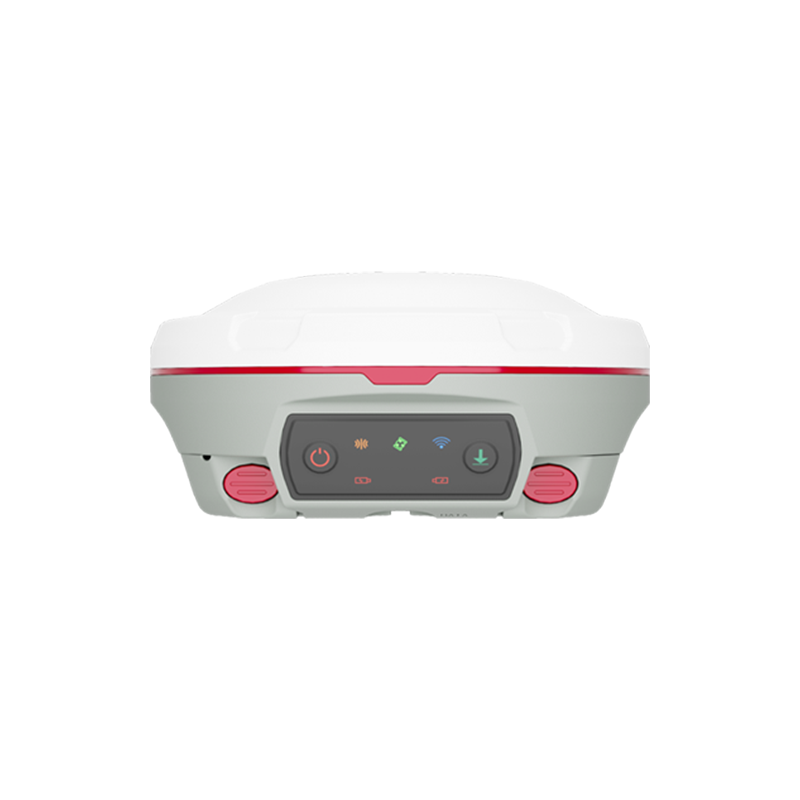
Accurate Rtk GPS GNSS Solutions from Reliable Exporters & Factories
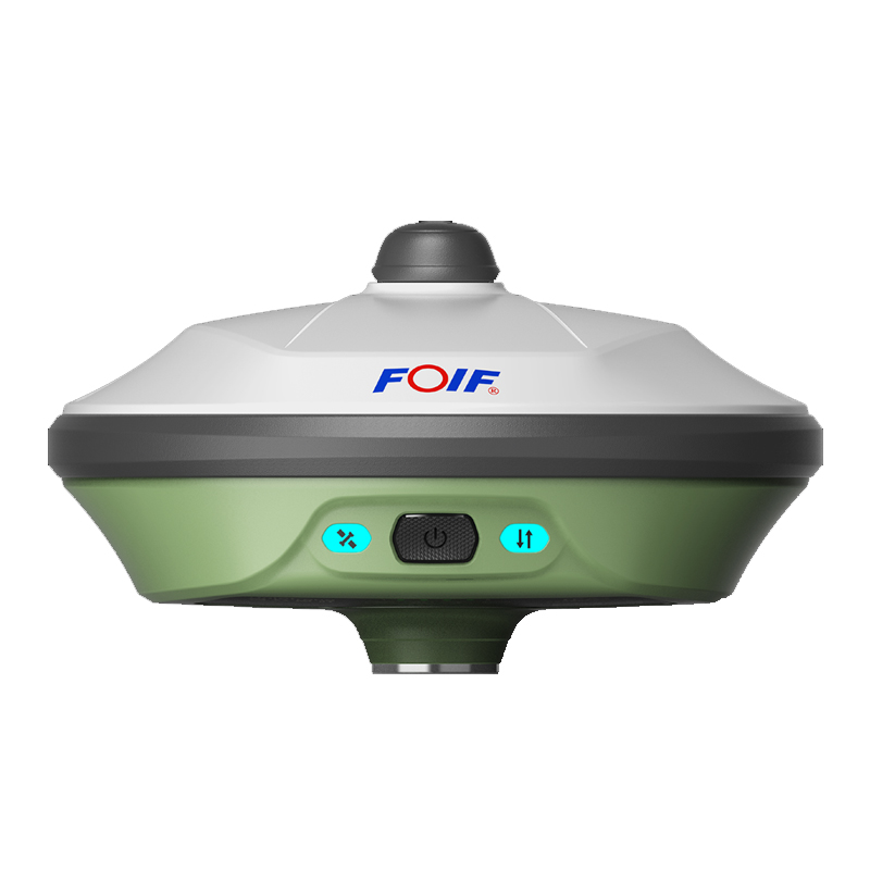
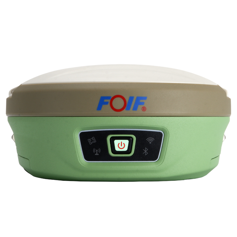
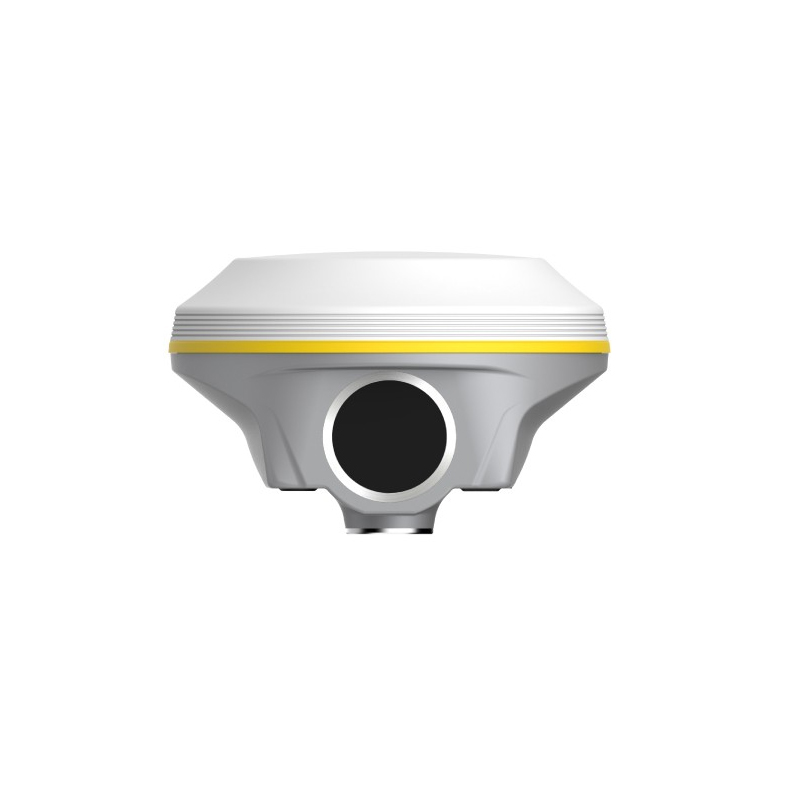
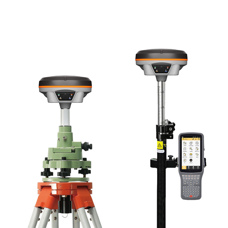
Achieve unparalleled accuracy in geospatial applications with the Rtk GPS GNSS solution from Chengdu Zhicun Space Surveying Instrument Co., Ltd. Utilizing advanced Real-Time Kinematic (RTK) techniques, this technology provides centimeter-level positioning for diverse surveying tasks including land surveying, construction, agriculture, and mapping. Our systems are engineered to withstand the rigorous demands of professionals, featuring state-of-the-art receivers and robust data processing capabilities for reliable performance in challenging environments. The intuitive interface and extensive connectivity options streamline data collection, making it efficient and user-friendly. Whether conducting topographic surveys, monitoring land changes, or executing engineering projects, our Rtk GPS GNSS technology delivers trustworthy results. Committed to innovation and excellence, Chengdu Zhicun empowers professionals to achieve their project objectives with precision and confidence, enhancing your surveying capabilities with our advanced GNSS technology.